People ask me all the time why North Central Phoenix feels so different from the rest of the Valley. My short answer is: because it grew differently. The bigger answer is written into the irrigated lots, the old olive trees, the unpaved path beside Central Avenue, and the homes that were built one era at a time instead of all at once.
I know this corridor street by street, and its history is not just trivia. It affects what you are buying, what you may be allowed to change, how an addition should be evaluated, and why two homes with similar square footage can have very different values. So let’s talk about how this neighborhood became the place we know today—and what that story means for homeowners now.
It started beyond the edge of town
Long before North Central was surrounded by city, this part of the Valley was agricultural land north of early Phoenix. Water made the transformation possible. William J. Murphy helped build the Arizona Canal in the 1880s, and the land along what became North Central Avenue developed around citrus, irrigation and large residential parcels.
The City of Phoenix’s North Central Avenue Special Planning District describes original Orangewood subdivision olive trees planted roughly between 1905 and 1910. It also documents the irrigation lateral still maintained by Salt River Project. That is why the landscape here can feel unexpectedly lush for the desert. The greenery is not an accident or a new amenity; it is part of the corridor’s original development pattern.
Central Avenue became a residential showpiece
In the 1920s and 1930s, prominent Phoenix families built large estates north of the city limits. Central Avenue offered proximity to downtown while still feeling rural, spacious and private. The corridor accumulated homes over decades, so there is no single North Central style. You will find period-revival houses, custom homes, cottages, ranch homes, later infill and thoughtful—or sometimes not-so-thoughtful—remodels sitting close together.
That architectural variety is one of the reasons I tell buyers not to shop this area by bedroom count alone. Lot orientation, irrigation, setbacks, original construction, additions and the quality of past renovations matter. A home can look simple in an online search and be absolutely special in person. The reverse can also be true.
Murphy’s Bridle Path is more than a walking trail
The unpaved path along the east side of Central Avenue is one of the corridor’s signatures. The City’s planning documents describe today’s Murphy’s Bridle Path as a roughly ten-foot-wide recreational trail running about two and a half miles from Bethany Home Road to the Arizona Canal. It sits between mature ash and olive trees, with pavement crossing mainly at streets and some driveways.
The Arizona Horse Lovers Club formally named the horse path Murphy’s Maricopa Bridle Path in 1948. Over time, residents and the City repeatedly chose to preserve the path and the parkway character of Central Avenue. That local stewardship is a big reason the corridor still feels connected to its past even as Phoenix has grown around it.
Historic neighborhoods added their own chapters
North Central is a corridor made up of distinct neighborhoods, not one interchangeable subdivision. Windsor Square, generally between Central Avenue and Seventh Street near Camelback Road, has a City-listed period of significance from 1912 to 1945. Medlock Place, west of Central between roughly Missouri and Pasadena avenues, has a period of significance from 1926 to 1956. Nearby Pierson Place also reflects the area’s early-to-mid-century growth.
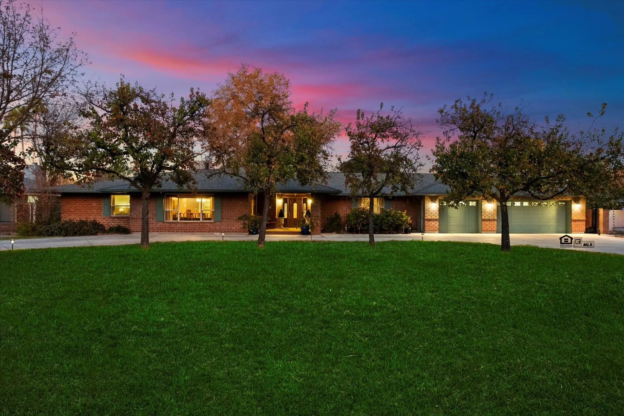
After World War II, ranch-style construction expanded across Central Phoenix. Those homes brought long, low rooflines, indoor-outdoor living and practical floor plans suited to the Valley. In North Central, many sit on generous lots under mature trees. Today, buyers may see an original ranch, a careful modernization, a large addition or a complete rebuild—sometimes on the same block.
What historic status does—and does not—mean
A house can be old without being located in a designated historic district, and a home inside a district can have different contributing status or past alterations. This is something to verify, never assume from the architecture or a listing description.
For properties on the Phoenix Historic Property Register, the City uses an HP or HP-L zoning overlay and reviews exterior changes. Minor work may qualify for a Certificate of No Effect, while more visible or complex work may require a Certificate of Appropriateness. Interior work that does not affect the exterior generally is not reviewed by the Historic Preservation Office. Before buying with a major renovation in mind, confirm the parcel’s zoning, permits and applicable review process.
The real-estate lesson: every property needs context
North Central rewards buyers and sellers who look past the automated estimate. Two homes can be a few doors apart and differ in flood irrigation access, lot shape, historic protections, permitted additions, tree condition, traffic exposure and renovation quality. Those details can change both the living experience and the price.
- For buyers: verify historic-overlay status, permits, sewer or utility history, irrigation availability, roof and mechanical updates, and the workmanship behind additions.
- For sellers: document improvements, explain the lot and street advantages, prepare the property carefully, and price against genuinely comparable homes—not just the nearest recent sale.
- For renovators: talk with the City and qualified contractors before assuming a design is feasible, especially when exterior work or a designated property is involved.
This is why I love working here. North Central is not cookie-cutter real estate, and it should not receive cookie-cutter advice. Its history created the shade, space, architecture and quirks people fall in love with. My job is to help you understand which of those details are charming, which are valuable, and which deserve a closer look before you sign.
North Central Phoenix history: quick answers
Where is the North Central Phoenix corridor?
People use the name somewhat differently, but in residential real estate it commonly refers to the established neighborhoods around Central Avenue north of downtown, including the area often called Between the 7s. The City’s North Central Avenue Special Planning District focuses on the distinctive stretch around Central Avenue from Bethany Home Road toward the Arizona Canal.
What is ‘Between the 7s’ in Phoenix?
It is the local shorthand for the area between Seventh Avenue and Seventh Street. It covers more than one neighborhood, so property character, historic status and pricing can change considerably within those boundaries.
Why are there so many mature trees and irrigated lots?
The corridor developed from agricultural and estate land supported by canals and irrigation. Historic tree planting and the surviving SRP irrigation lateral helped create the unusually green streetscape that residents value today.
Are all older North Central homes historic?
No. Age, architectural character and formal historic designation are different things. Check the City’s maps and the parcel’s zoning rather than relying on appearance or marketing language.
Sources & further reading
This local history was fact-checked against the City of Phoenix’s North Central Avenue Special Planning District, its residential historic-district register, and the Historic Preservation Office’s preservation FAQ. Historic rules and parcel status can change; verify current details with the City before making property decisions.